Transport Fever 2 - The Netherlands – 2000 Map [High Quality]
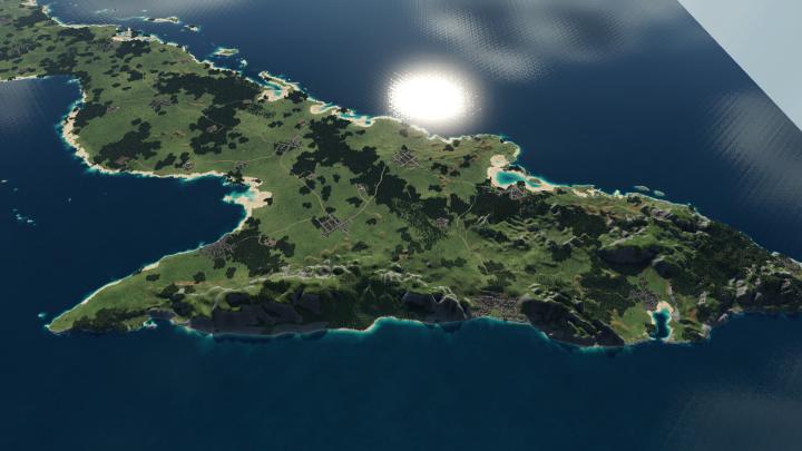
Hiya! Here’s my Christmas present to you lot! A very, highly detailed and utmost accurate version of the Netherlands, around 2000. This map has been in the works for around a week, with a total of about 40 hours, of which 25+ hours spent editing and fine-tuning the heightmap image. All of this map has been created with utmost accuracy to the real life chart of the area.
Experimental Map Sizes need to be enabled in your game config!
FEATURES:* Megalomaniac size (Largest possible as of creation date).
* 100% of the Netherlands included in top-quality detail.
* A part of western Germany.
* A large part of northern Belgium (Flanders).
* Forests in their real life locations, plus some more, to make the map feel more lively.
* Authentic looking rivers. (NOTE: This makes some of the inland rivers UNSUITABLE for ship transport! Use the northern and western areas instead.)
* No industries. (Use an industry build mod, or enable sandbox mode, if you’d like to play with industries.)
* No road connections between cities, apart from key areas, like the "afsluitdijk" and delta works.
* Recommended start: 1930 Onward.
DISCLAIMER:
I’m not a professional cartographer by any means, but I can guarrantee this map has been created using the most advanced intel and tools at my disposal to be able to create a top-quality, detailed, realistically looking representation of the Netherlands and its surrounding area. If you’ve got any issues or suggestions, please leave your feedback down below in the comments!
Authors: Sirion ❚❙★
![Transport Fever 2 - The Netherlands – 2000 Map [High Quality]](https://mods.club/uploads/modsclubpost.png)
