Transport Fever 2 - Shengsi Zhejiang China Map
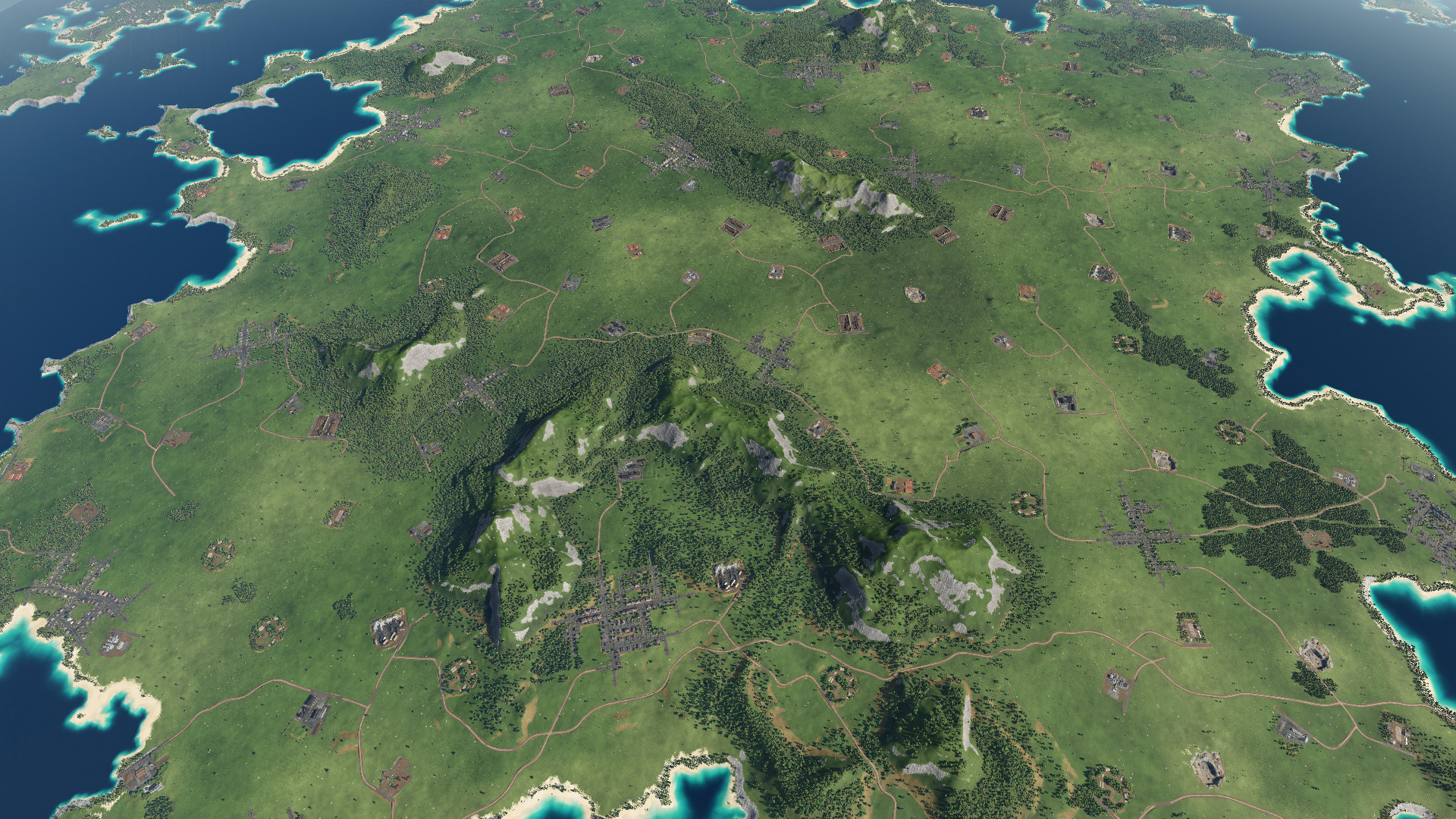
Shengsi County, under the jurisdiction of Zhoushan City, Zhejiang Province, is located to the east of Hangzhou Bay and southeast of the Yangtze River Estuary. It is the easternmost island county of Zhejiang Province and the northernmost Zhoushan Islands. It is composed of 404 islands, of which 16 are inhabited. The total land and sea area of Shengsi County is 8,824 square kilometers, of which 86 square kilometers are land area and 8,738 square kilometers are sea area. The Shengsi Islands Scenic Area is an island-type national key scenic spot with “blue seas, strange rocks, golden sands and fishing fires” as its main landscape features, integrating marine culture and island folk customs, with sightseeing, leisure, and scientific and educational activities as its main functions.
This map belongs to the city series (small and medium city series) in the new plan. Compared with the metropolitan area and urban agglomeration series, the maps in this series focus on the central city and surrounding towns. The scale of this series of maps is 1:3, that is, 1km in the game is equivalent to 3km in the real world, and the size in this series of map games is relatively close to the size of the real world.
Map introduction:
The city series map of Shengsi, Zhejiang, the map scope mainly involves Shengsi County (part of), Zhoushan City.
The road network has been made together and can be played directly.
Cities and towns include urban districts, towns, and development zones within the scope, and the scale setting is scaled according to the sixth census data.
The terrain height is generated based on meter-level GIS data and scaled strictly in order to restore the real scene.
The game started on January 1, 1850.
Including the following cities:
Shengsi
Five Dragons
Huanglong
The map includes 5 industries.
Authors: haoyuhugeo
 Uploaded by
![Transport Fever 2 - The Netherlands – 2000 Map [High Quality]](https://mods.club/uploads/mods/17758-transport-fever-2-high-quality-the-netherlands-8211-2000.jpg)