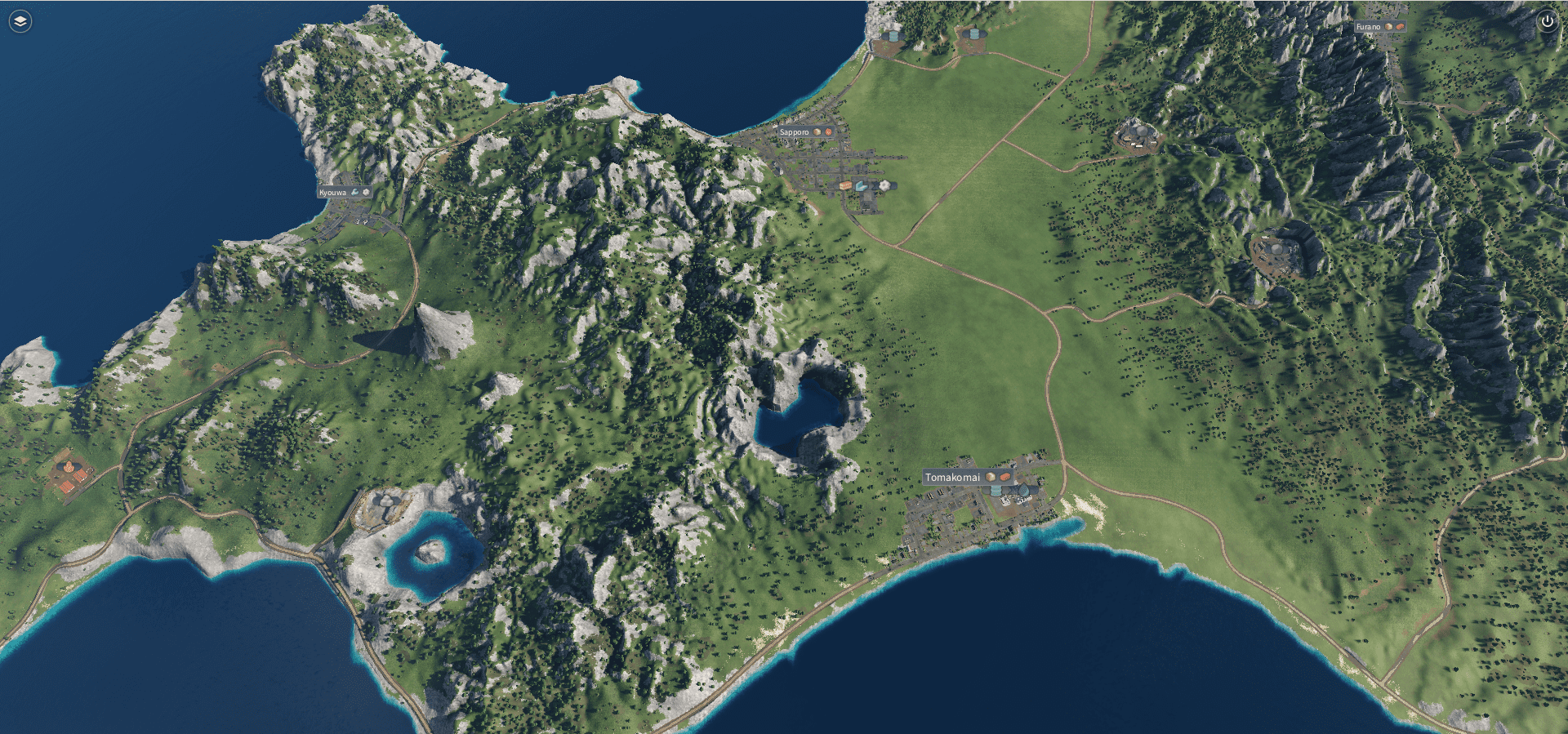
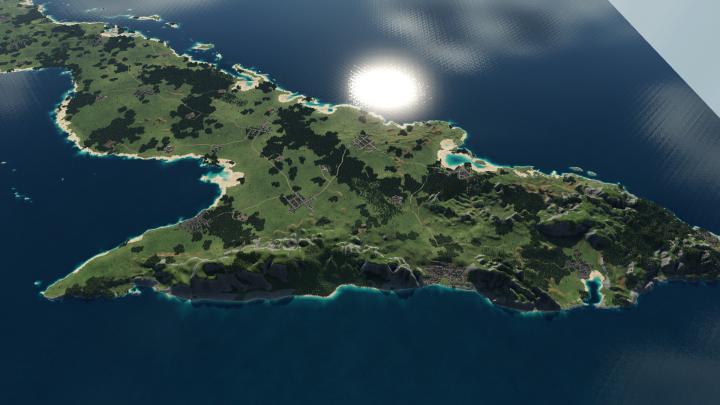
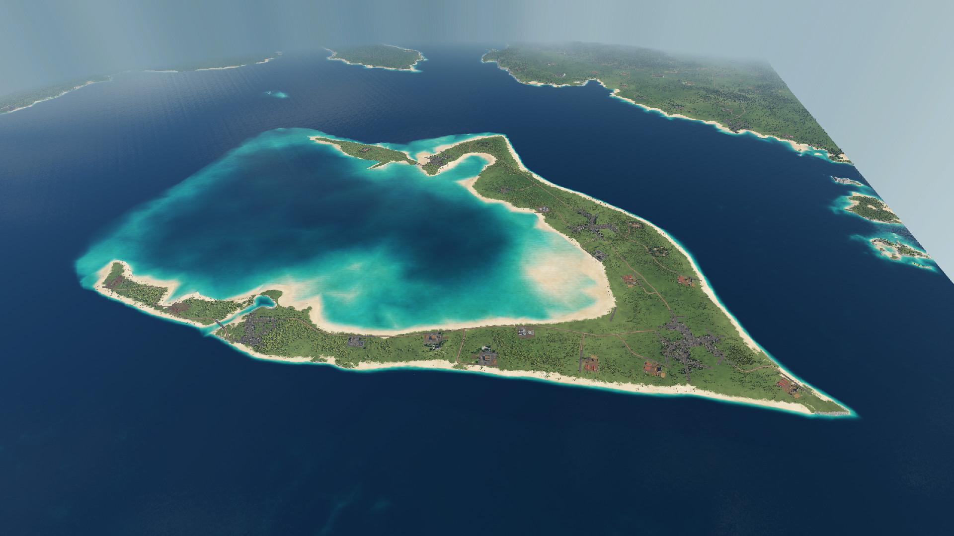
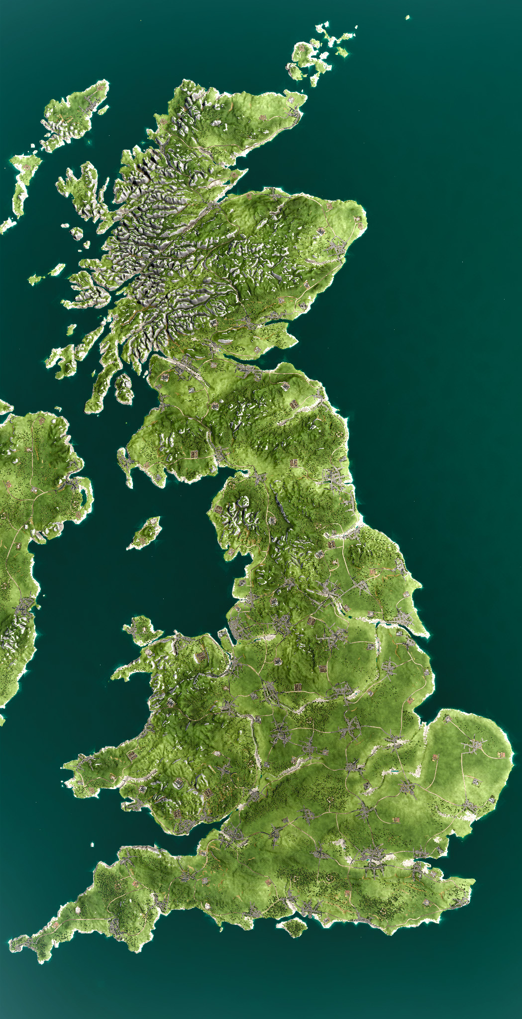
Transport Fever 2 - GWR Map 2 : Naem Styll Pendding
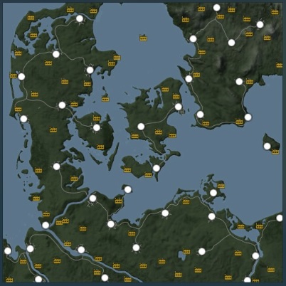
Size: Megalomaniac 1:3, 8.4 x 25.2 mi (13.5 × 40.5 km)
Height: Up to 500m evalation from sea level.
Start Date: 1850
Difficulty setting: Medium
A return to the Piddlemouthshire coastline, with much pre-detailing, a minimal selection of mods and some custom industries for a more realistic steam-era UK map.
A large fictional map with big distances and challenging terrain between settlements and industries. The map scale is envisioned as 1:1.
26 settlements: 14 towns (130-360 residents, 3 demands), 6 large villages (80-140 residents, 2 demands), 6 small villages (<100 residents, 1 demand: Food ). All settlements demand Food.
63 industries. Goods Factories only require Steel, not Plastic. No Chemical (Plastic) Plant. The Oil Refinery and Fuel Refinery are recombined by being placed right next to each other. 2 towns have a Gas Works (coal->fuel) industry. For each Food Processing Plant there are 4 Farms to fill it’s capacity. Some Farms are close enough to only need road transport. Processing industries are located close to towns, whilst raw material industries are in the hills and countryside. The capacity of the industry chains match towns’ cargo demands.
The terrain and layout is designed to be challenging and create opportunities for interesting features and visuals (large bridges, tunnels, cutting and embankments). Some routes will only become practical in the latter stages of the game as they require a lot of cash. Ships can potentially be used in many areas of the map.
Although town names are fictional, most are representative of the south western (GWR) areas of the UK and their location on the map (with a few exceptions).
This is unfortunately a slightly smaller crop of the previous TpF1 version, to fit the permitted TpF2 map sizes.
When creating a new game with this map have at least 7-8GB of free RAM. Experimental Map Sizes must be enabled.
Authors: JK


