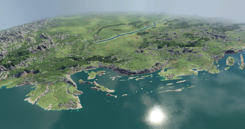
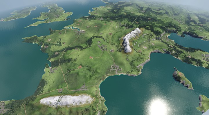
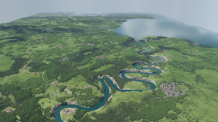
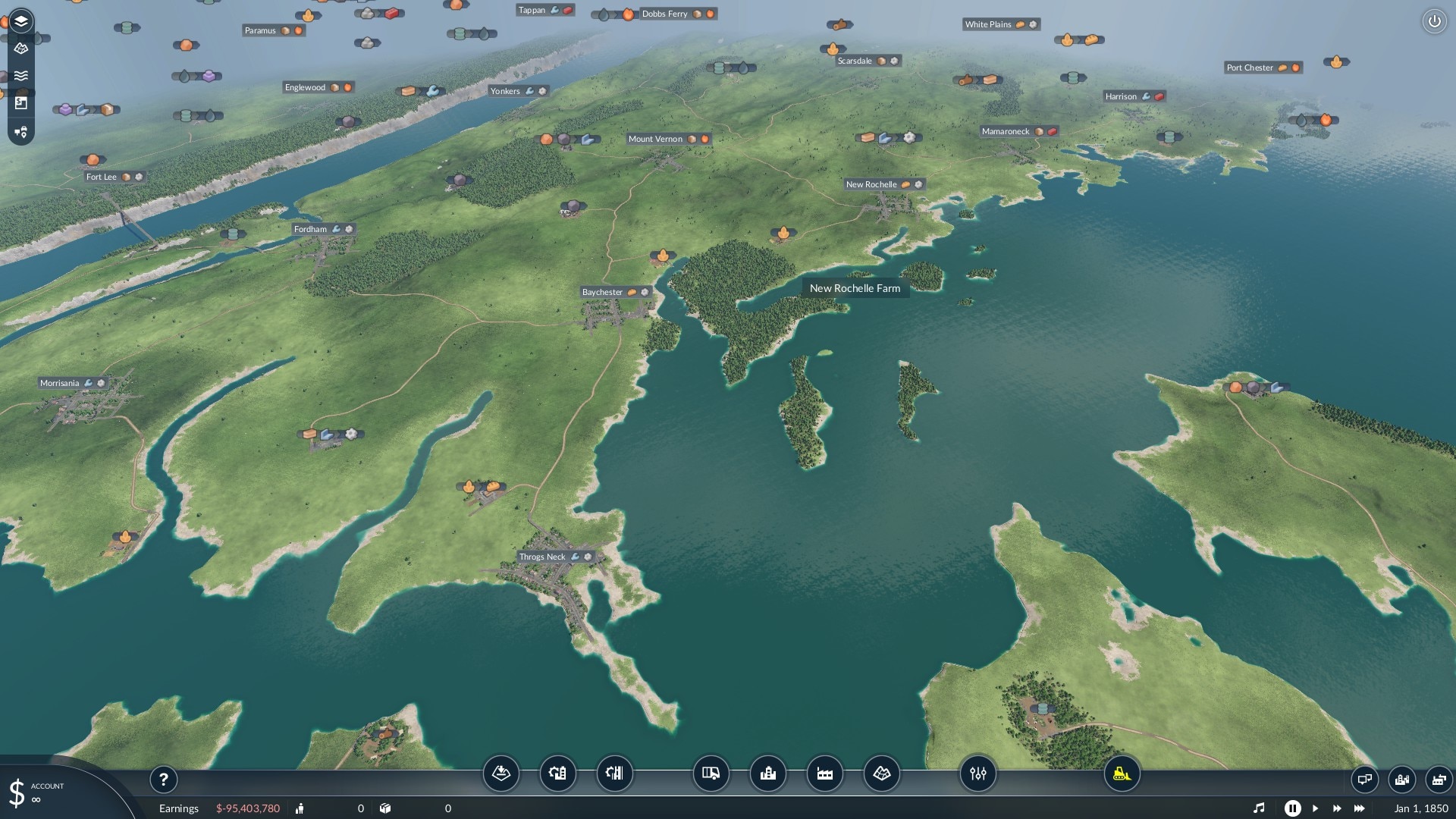
Transport Fever 2 - Fuji Map
The map is based on the region around the Fuji in Japan near Tokio and contains 31 cities as well as ~200 industrial buildings. (Edit: Because of the new editor in TpF2 you now can delete or place cities/industries yourself the way you like it most)
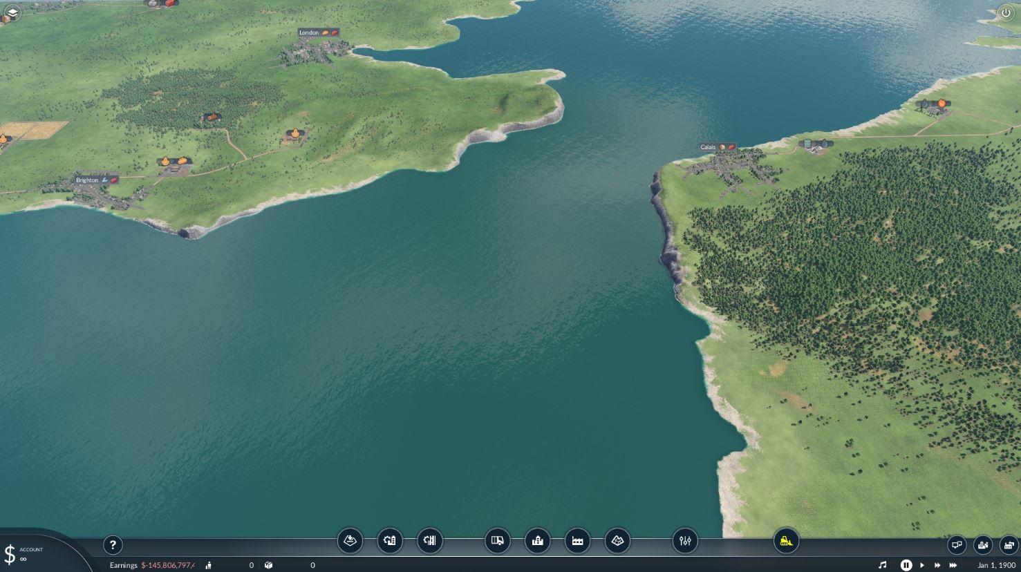
You start in the year 1850.
The goal was to create a realistic looking 1:3 map which is long enough for planes and wet enough to use boats.
The names of the cities are partly taken from real cities in that region and partly fictional.
All cities and industrial buildings have been placed by hand.
Because of how the map editor in TPF2 works, you might have some weird diagrams in your financial report window … as well as a yearly cost of around 20k $ for roads …
I tried everything to fix that, but I guess you will have to live with it until the editor gets fixed.

Authors: PrivatePinguin
 Uploaded by
![Transport Fever 2 - The Netherlands – 2000 Map [High Quality]](https://mods.club/uploads/mods/17758-transport-fever-2-high-quality-the-netherlands-8211-2000.jpg)